Topographic and geodetic work-high significance
Topographic and geodetic work-components
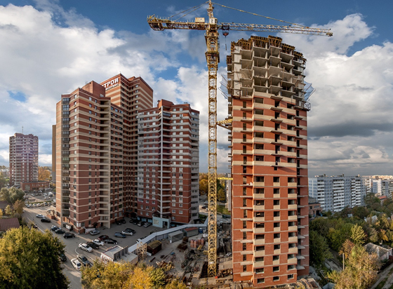
Topographic survey of sites, compiling a topographic plan, removal in the nature of the project by design organizations and is-topographic and geodetic works. As the head of the construction project, I want to note the special importance of these works and the quality of their performance.
Topographic and geodetic work-direct use
It is important to receive data precisely using super -precise equipment.
You can use them for:
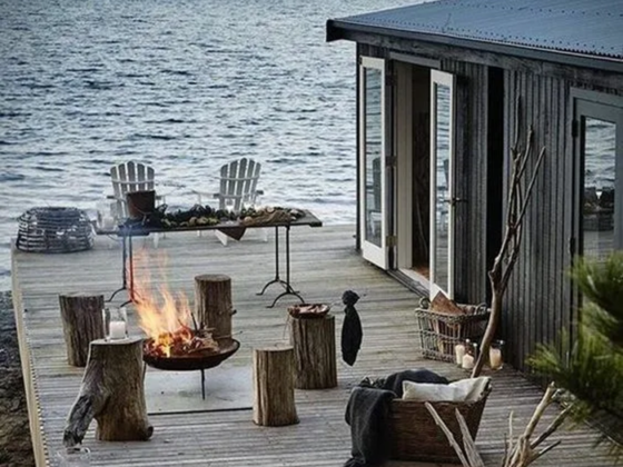
creating projects of unique landscape design;
designations of the location of underground engineering communications;
control and determination of deformation of buildings, technical and road structures;
setting boundaries of objects;
full control of the conformity of the constructed objects.
Topographic and geodetic works in some cases are regulated by law, which only emphasizes their significance. But absolutely everything as necessary can use these services. In order to avoid problems, errors should be detected in advance, at the stage of creating a project, and not in the process of implementing it in life.
Topographic survey – as an important type of topographic work
Topographic survey implies the preparation of a cadastral plan of a particular area that we need in order to obtain an official permit for construction, assigning an object to the terrain and commissioning of this facility directly into operation.
Types of topographic shooting:
Uderevnaya – indicates the trees in the future on the plan;
Superciper – is needed when designing landscapes;
1: 2000 – applicable in the compilation of residential arrays, city regions, villages, strategically significant objects;
1: 500 – applicable in the drawings and the general plan of engineering communications.
Topographic survey goes away in a stages – preparatory stage, field and desk stages. This type of work is in incredible demand due to the extensive area of application. To update maps, this type of shooting is used in landscape design and vertical layout. Nowadays, it is also applicable to the construction of digital models of the area.
Oleg Lozova